Bermuda Triangle

バミューダトライアングル

Mysteries & Phenomena

A triangular area of ocean connecting the Florida Peninsula, Bermuda and Puerto Rico. It became famous as a "sea of mystery" where ships and planes vanish, but accidents there are not considered especially frequent.

Also known asDevil's Triangle, Flight 19, Bermuda Triangle mystery
Era / first recorded1964 (named)
OriginUnited States
Related people
Stats
Rarity
Danger
Reality
Fame

Originally written in Japanese. 日本語版を読む (the Japanese page also has rankings and comments).

What is the Bermuda Triangle?

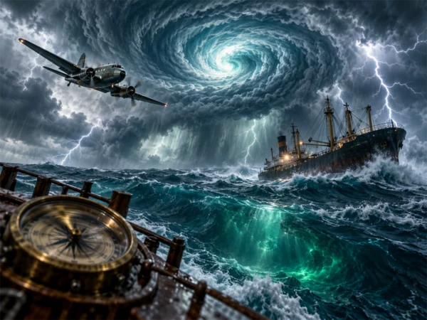
The Bermuda Triangle is the name for a triangular area of the Atlantic Ocean connecting the tip of the Florida Peninsula, Bermuda and Puerto Rico. Ships and planes were said to vanish here without a trace unusually often, and it became known around the world as the “Devil’s Triangle.”

Famous disappearances and the boom

The most famous case is the disappearance in December 1945 of five U.S. Navy torpedo bombers on a training flight (Flight 19), followed by the loss of a flying boat sent to search for them. In 1964, the writer Vincent Gaddis gathered the area’s accidents in a magazine article and called it the “Bermuda Triangle,” and in 1974 Charles Berlitz’s book The Bermuda Triangle became a bestseller, setting off a boom. Many causes were proposed, such as holes into another dimension, UFOs and the ruins of Atlantis.

Has the mystery been solved?

In 1975, a librarian re-examined the records of the time and showed that many of the reported cases were losses in storms, actually happened in other waters, or could not be confirmed in any record at all. The area has very heavy ship and air traffic, as well as storms, sudden weather changes and strong currents, so accidents do happen, but they are not thought to be especially frequent compared with other waters.

Bermuda Triangle: Legend & Sighting Locations

  • Bermuda Bermuda · Legend · 20th century

Please note Trespassing on private property or restricted areas is prohibited by law. Please be considerate of local residents.

Positions on the map are a rough guide to the area where a legend or sighting is set. Most pins are placed at representative points of a municipality or prefecture (outside Japan, a city position rounded to about 10 km, or the country), not at the exact place.
Municipality points: Geolonia address data (CC BY 4.0), based on the Address Base Registry (Digital Agency of Japan) / Country points: Natural Earth

Sources & References

  1. 謎のバミューダ海域 (チャールズ・バーリッツ, 1974)

Please note The contents of this site introduce legends, eyewitness accounts and theories; they do not guarantee that anything described is true. The stats are our own rough guide. Trespassing on private property or restricted areas is prohibited by law. Please be considerate of local residents.

Related Entries