What is the Piri Reis map?
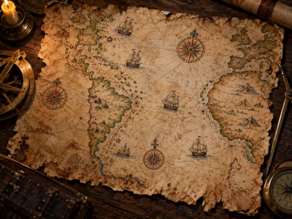
The Piri Reis map is a world map drawn on gazelle skin in 1513 by Piri Reis, an admiral of the Ottoman navy and a mapmaker. It was found in Topkapi Palace in Istanbul in 1929. Only part of the map survives, showing Europe and West Africa, the Atlantic Ocean and the east coast of South America.
Based on Columbus’s map?
According to notes on the map, Piri Reis made it from about 20 source maps, including ancient and Arabic maps, among them a map used by Christopher Columbus. Made about 20 years after Columbus’s voyage, it is one of the oldest maps showing the Americas and is historically valuable.
Does it show Antarctica?
The map became famous as an OOPArt because of a theory that the land at its bottom is “the coastline of Antarctica before it was covered by thick ice.” The American professor Charles Hapgood argued this in a book in the 1960s, and it was linked with theories of a super-ancient civilization that made maps before Antarctica froze over.
However, most cartographic researchers think the lower part of the map shows the South American coastline bent eastward to fit on the gazelle skin. Antarctica was actually discovered in the 19th century. Another “southern continent” drawn on old maps is Megallanica. Famous OOPArts are listed on the OOPArts page.